# aviationMap
**Repository Path**: youngoldman/aviationMap
## Basic Information
- **Project Name**: aviationMap
- **Description**: An aeronautical/aviation map for QGIS created with freely available data from the FAA and other sources
- **Primary Language**: Shell
- **License**: GPL-3.0
- **Default Branch**: master
- **Homepage**: None
- **GVP Project**: No
## Statistics
- **Stars**: 0
- **Forks**: 0
- **Created**: 2021-04-27
- **Last Updated**: 2021-04-27
## Categories & Tags
**Categories**: Uncategorized
**Tags**: None
## README
aviationMap
============
Aviation maps for QGIS version 2.2+ created using freely available data from FAA.
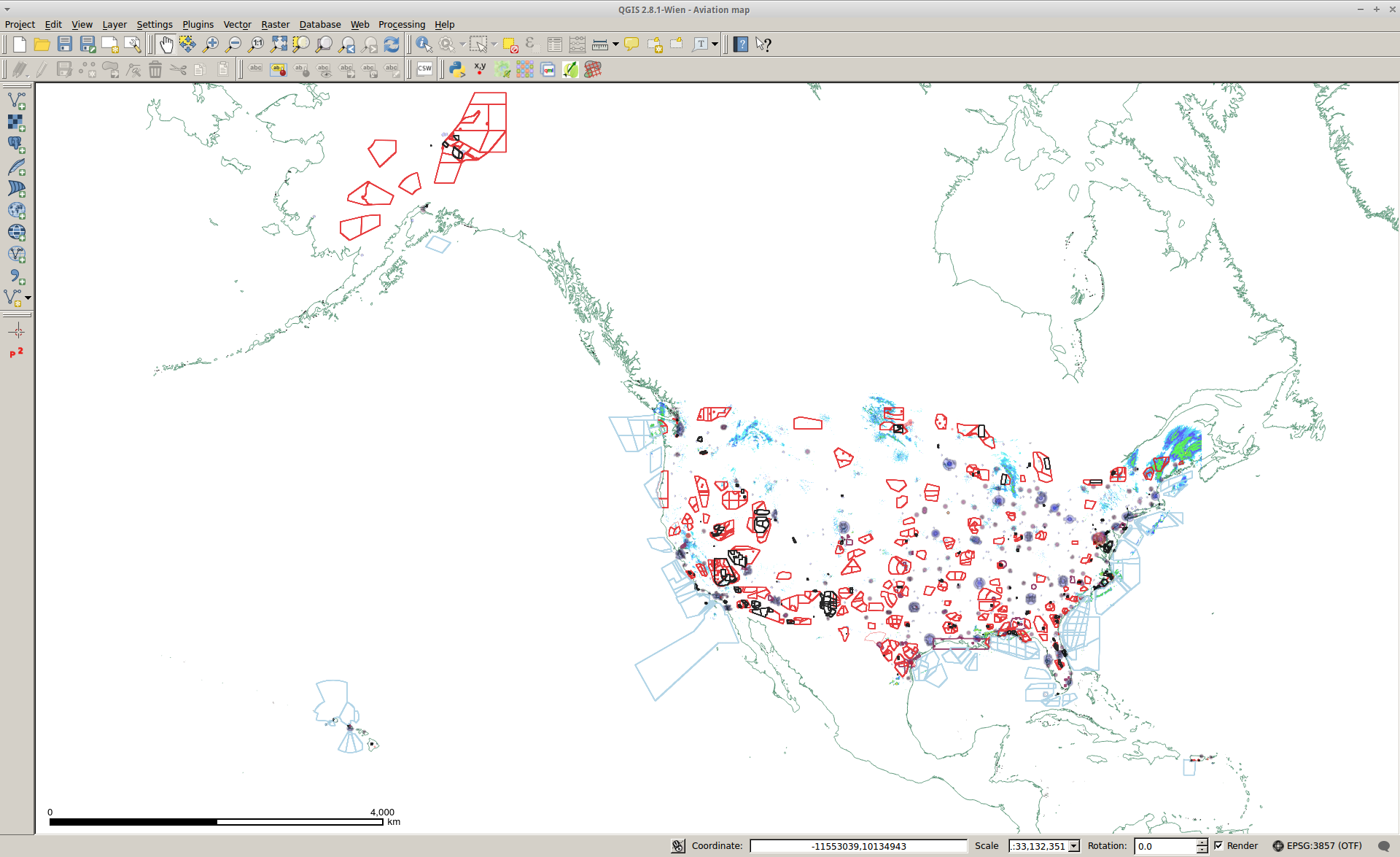
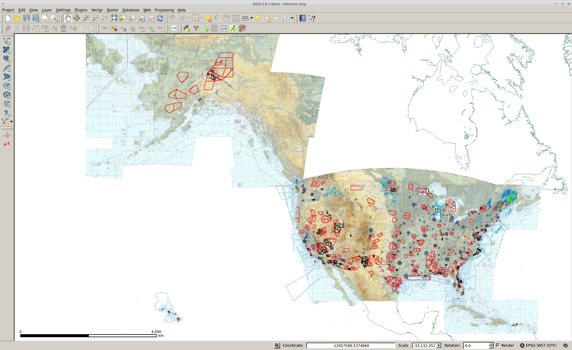
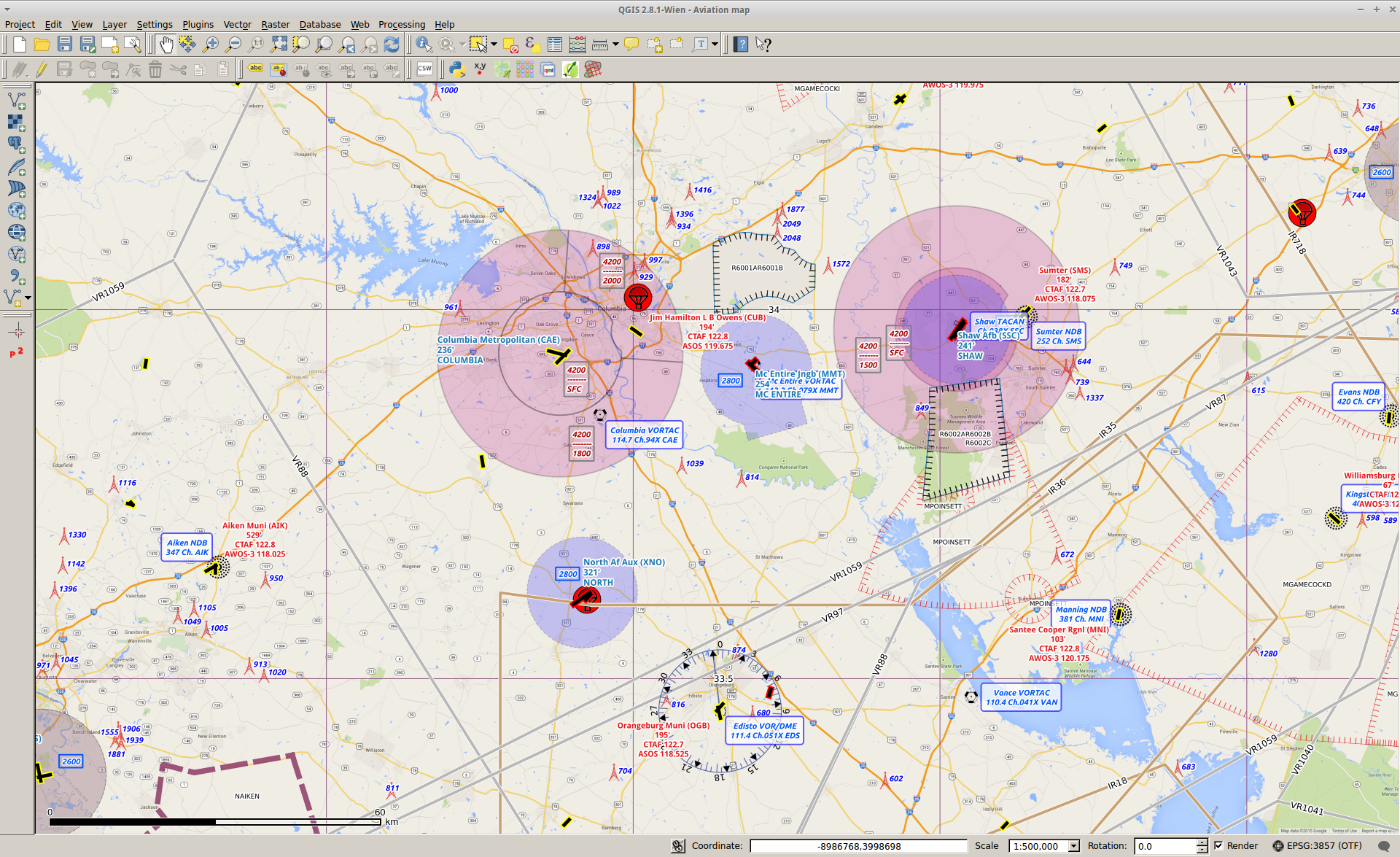
Everything I can find freely online is in here (METARS, SIGMETS, Controlled and Special Use Airspace, Weather Radar etc)
To get started
==============
1. Execute "freshenLocalData.sh" to download the databases, shapes etc from Dropbox and extract locally
2. Open "Aviation map.qgs" with QGIS (http://qgis.org/)
3. Explore all of the layers, there are lots of them. Feel free to submit changes, it's not perfect by any means.
Get up to date METARs, TFRs etc. with https://github.com/jlmcgraw/aviationMapMetarSigmetsAndTFRs
Create the seamless Sectionals, Enroute, TAC etc. charts with https://github.com/jlmcgraw/aviationCharts
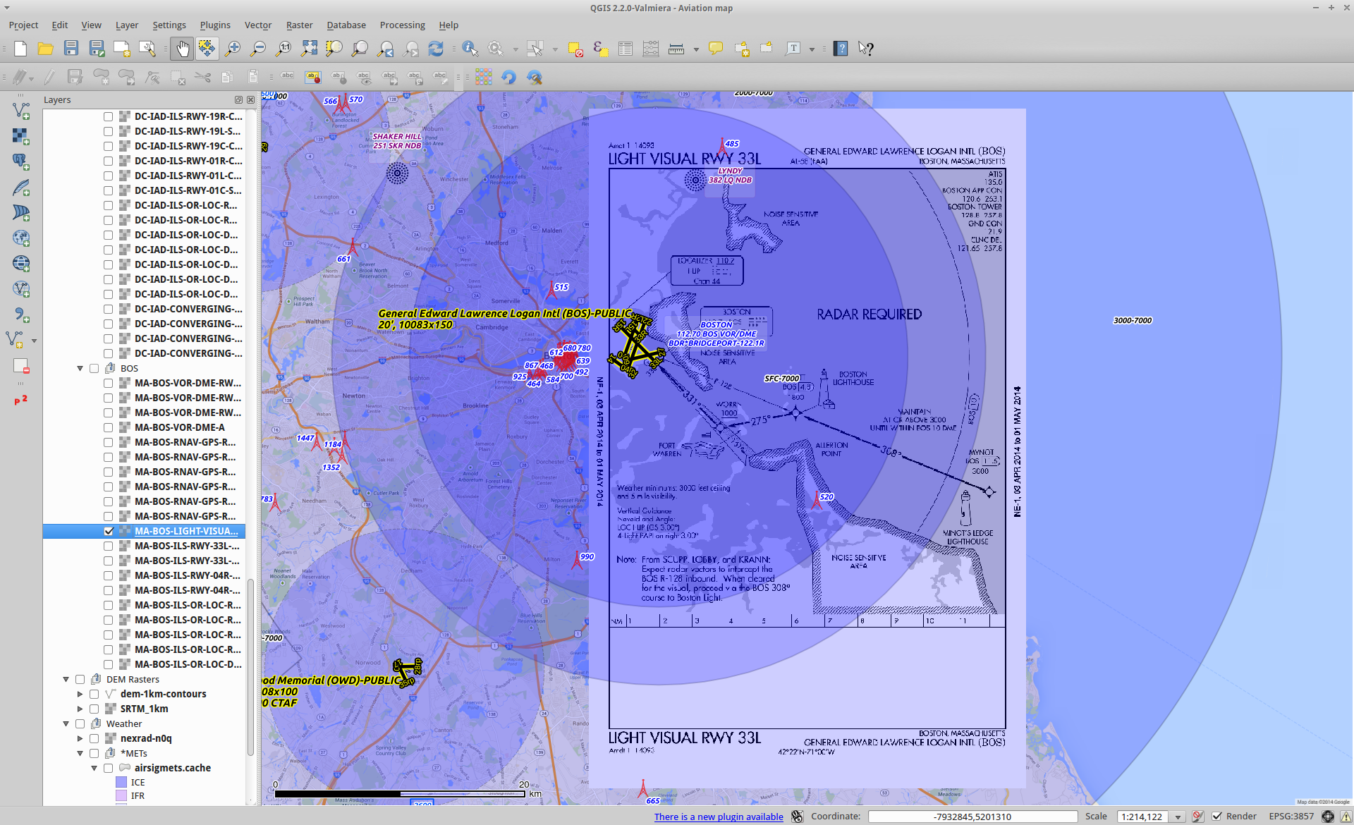
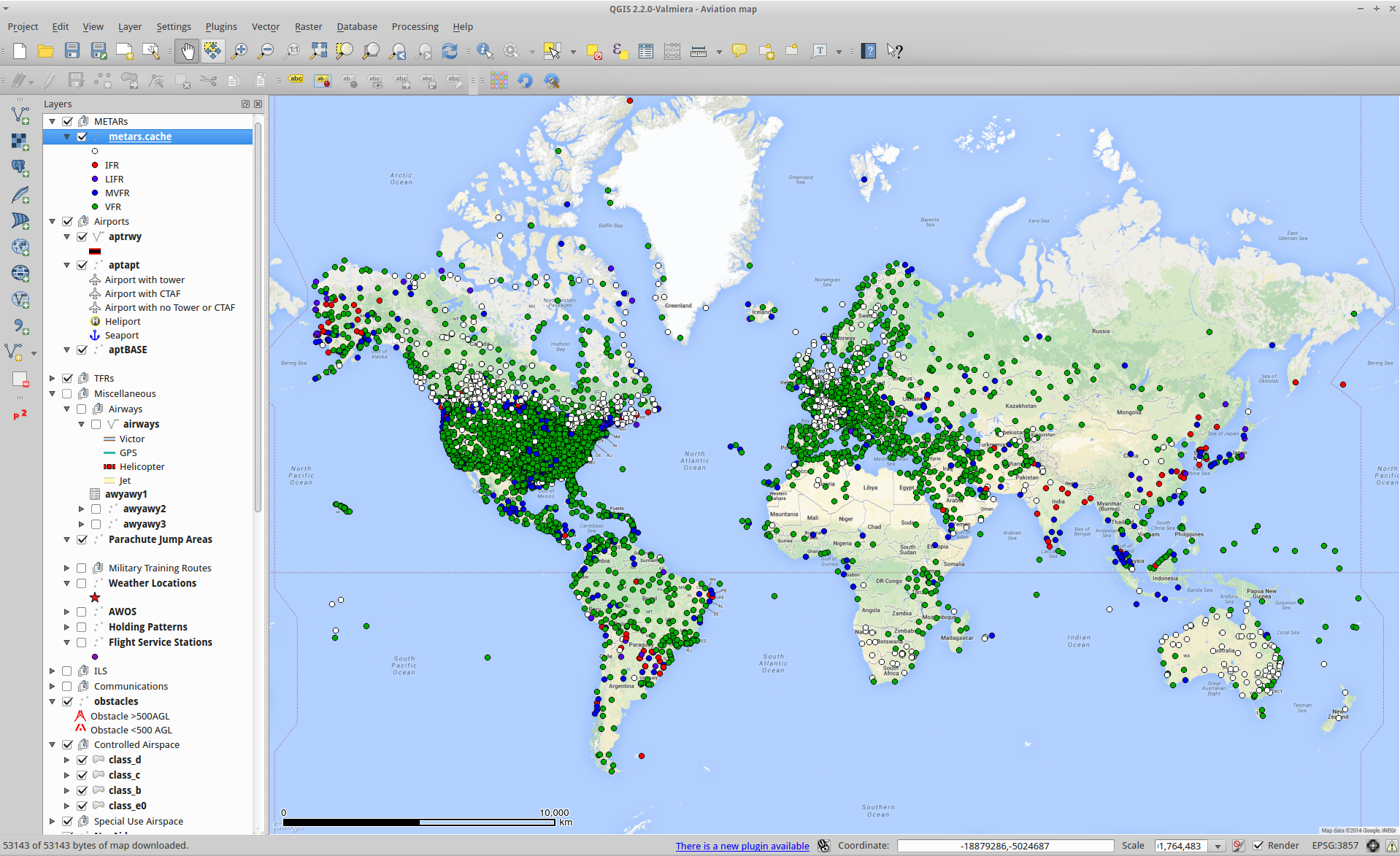
Screenshots
===========
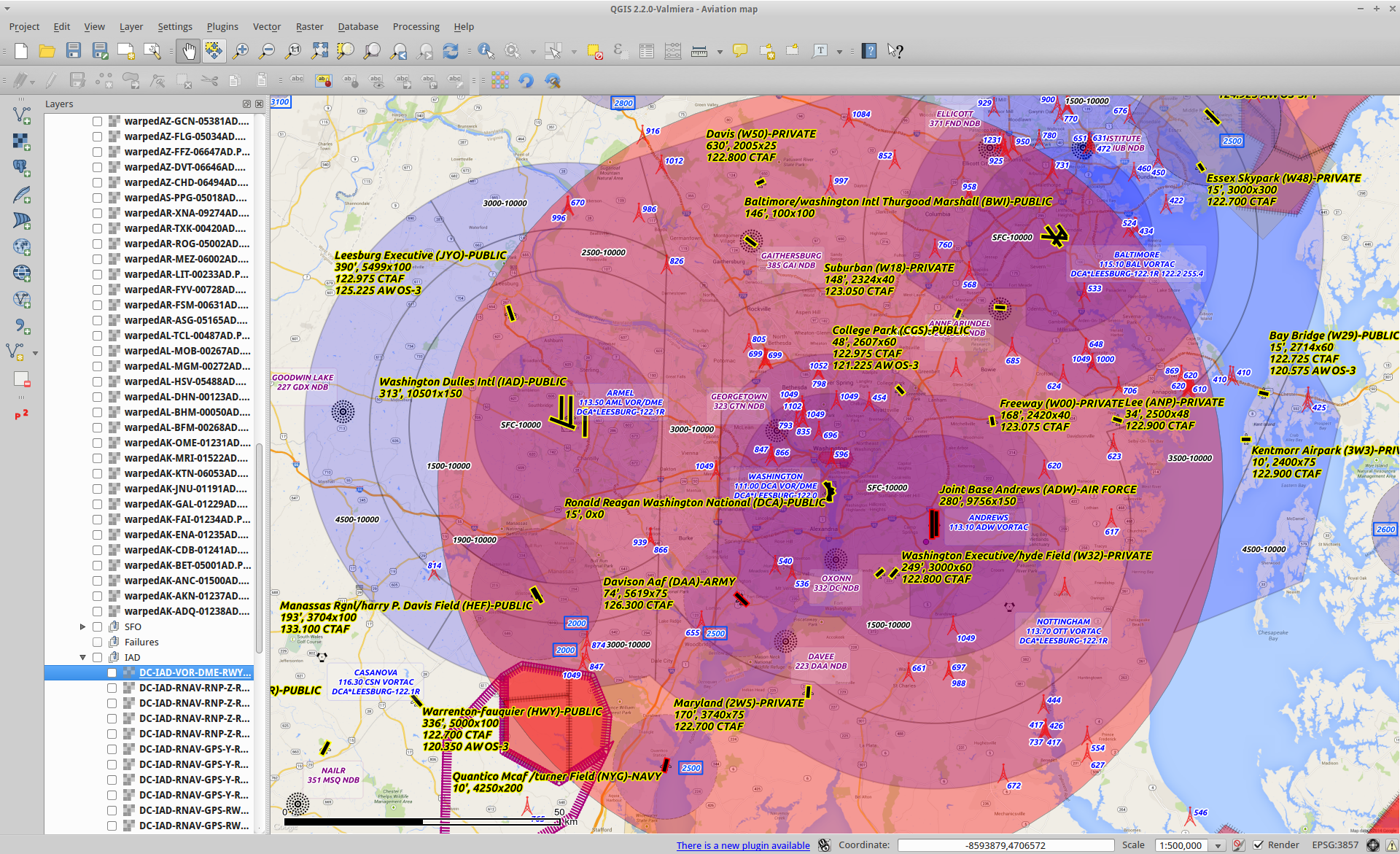
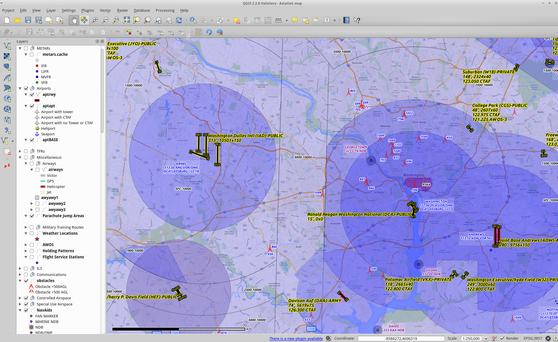
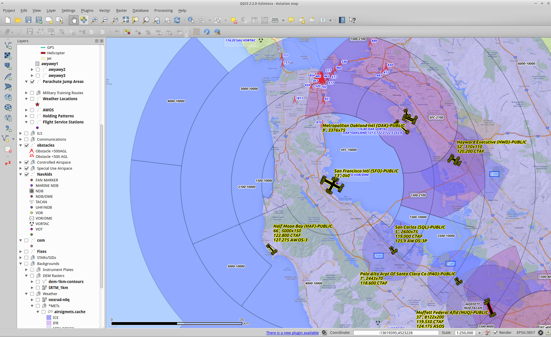
The databases were created from the FAA 28-day data
(https://nfdc.faa.gov/xwiki/bin/view/NFDC/28+Day+NASR+Subscriptio)
and this program
(https://github.com/jlmcgraw/processFaaData)
Geo-referenced instrument plates were created with
https://github.com/jlmcgraw/GeoReferencePlates
The AIRMET, SIGMET, TFR and METAR .CSV data are created with
https://github.com/jlmcgraw/aviationMapMetarSigmetsAndTFRs
Country, State, Lakes and River data are from Natural Earth
(http://www.naturalearthdata.com)